 Safaris
Bergsteigen
Wandern
Inselwandern Weltweit
Safaris
Bergsteigen
Wandern
Inselwandern Weltweit
 Chronologie
Inselwandern
Chronologie
Inselwandern Europa
Inselwandern
Europa
Inselwandern
 Städtewandern
 Paintings
 Dirk Rauschenbach
|
Safaris
Bergsteigen
Wandern
Inselwandern Weltweit
|
Chronologie
Inselwandern |
Europa
Inselwandern
|
Städtewandern
|
Paintings |
Dirk Rauschenbach
|
|
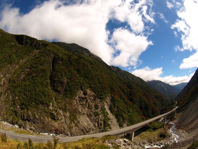
back Arthurspass zurück Neuseeland Übersicht back New Zealand Arthurs Pass Arthur's Pass National Park Passtrasse 920 m
 |
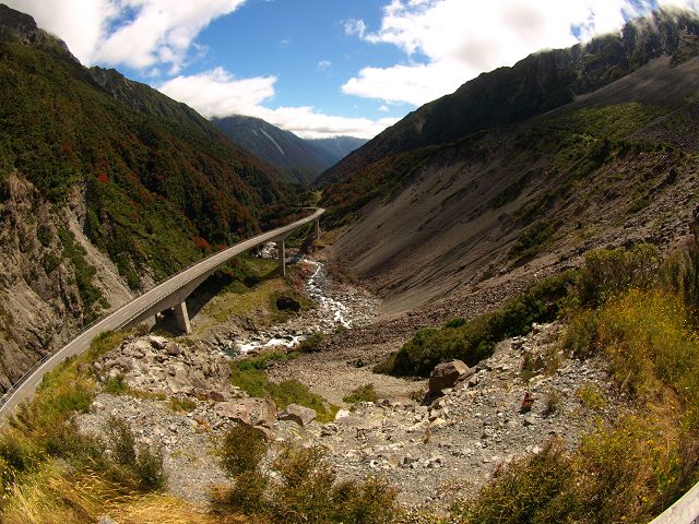 |
| Arthurs Pass Arthur's Pass National Park, Otira Viaduct, | Arthurs Pass Arthur's Pass National Park, Otira River Otira Viaduct, |
 |
 |
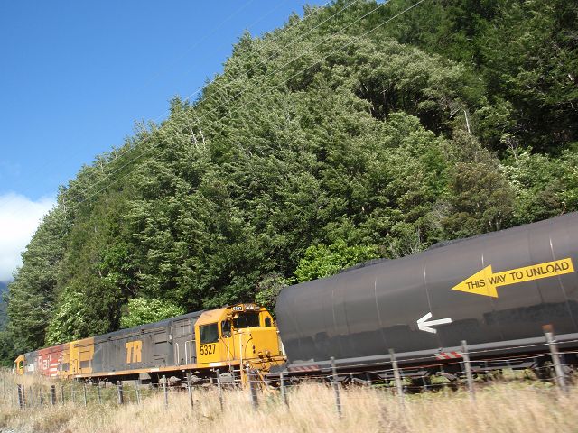
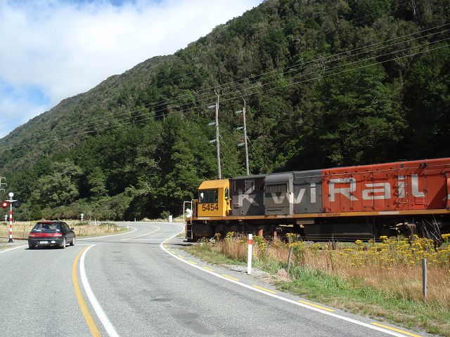
| Arthurs Pass Arthur's Pass National Park, Tranzalpine railway | Arthurs Pass Arthur's Pass National Park, |
 |
 |
| Arthurs Pass Arthur's Pass National Park, Tranzalpine railway | Arthurs Pass Arthur's Pass National Park, |
 |
 |
| Arthurs Pass Arthur's Pass National Park, | Arthurs Pass Arthur's Pass National Park, |
 |
 |
| Arthurs Pass Arthur's Pass National Park, | Arthurs Pass Arthur's Pass National Park, |
 |
 |
| Arthurs Pass Arthur's Pass National Park, | Arthurs Pass Arthur's Pass National Park, |
 |
 |
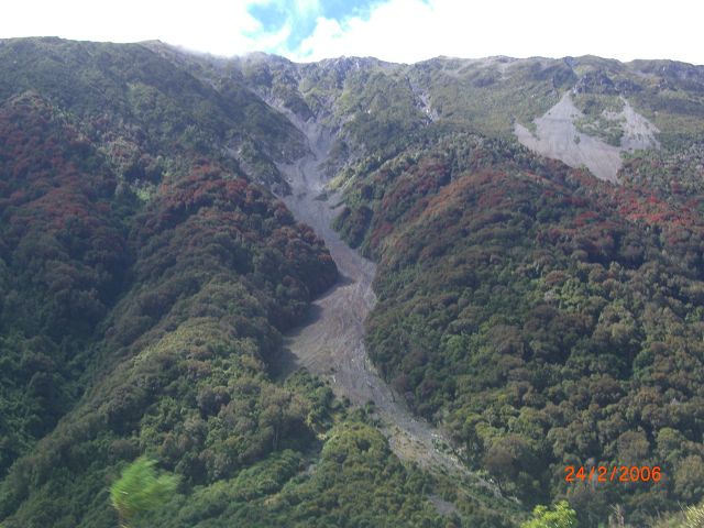
| Arthurs Pass Arthur's Pass National Park vom Foto | Arthurs Pass Arthur's Pass National Park vom Foto |
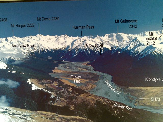 |
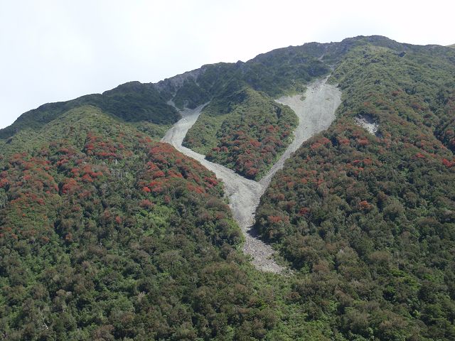
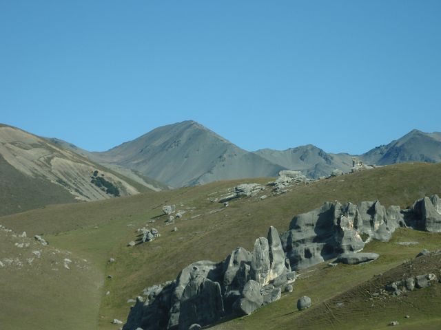
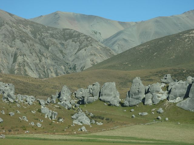
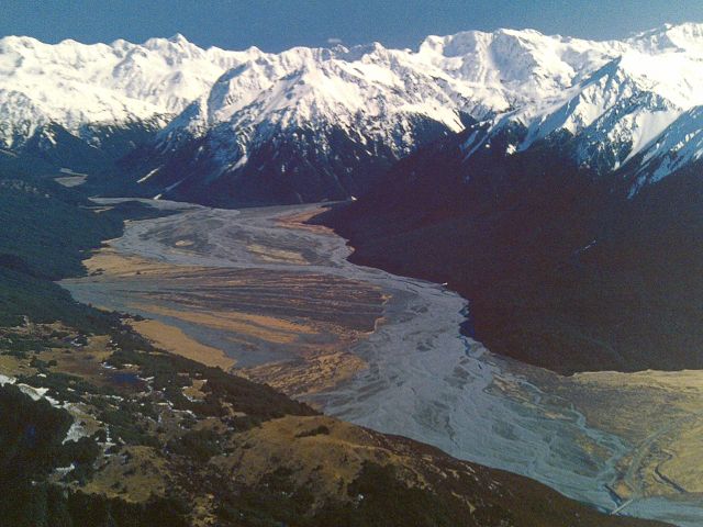
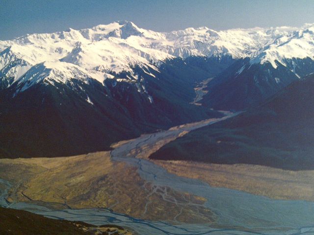
Der Arthur's Pass ist der höchste Pass in den
Southern Alps. Lange vor westlichen Entdeckern nutzten Māorigruppen den Pass
bereits als Ost-West-Verbindung.Lange bevor der Landvermesser Arthur Dudley
Dobson im Jahr 1864 den Weg über den Pass kartografierte, kannten ihn die
Jäger der Maoris bereits als Verbindungsroute zwischen Ost- und Westküste. Die östliche Seite des Arthur's Pass-Nationalparks zeichnet sich durch breite, kiesige Flussbetten und ausgedehnte Buchenwälder aus. Im westlichen Teil, wo es häufiger regnet, schlängeln sich tief eingegrabene Flüsse durch dichten Regenwald. In der Mitte der großen Wasserscheide liegt ein alpines Wunderland mit schneebedeckten Gipfeln, Gletschern und Geröllhängen. Highlights Der Park bietet viele über 2.000 Meter hohe Berge – der höchste ist der Mount Murchison mit 2.400 Metern. Die größten Täler des Parks sind tief und steil und weisen das u-förmige Profil auf, das typisch für Gletscherschliff ist. Oberhalb des subalpinen Buschlandes gibt es bezaubernde Berglandschaften mit wilden Blumen. |
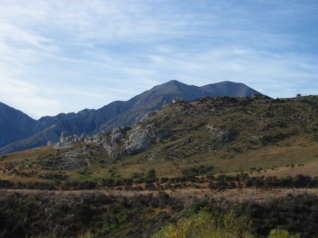
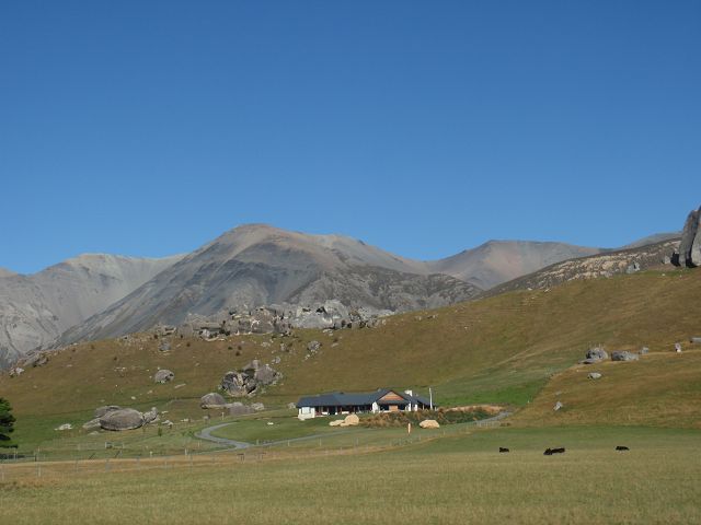
| Arthurs Pass Arthur's Pass National Park, vom Foto | Arthurs Pass Arthur's Pass NationalPark, |
|
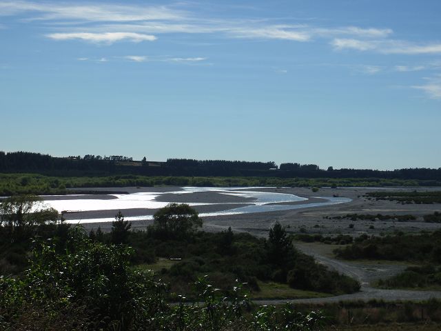
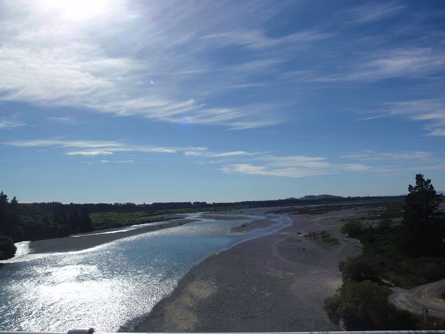
The Otira River is a scenic river located in the West Coast region of New Zealand's South Island, flowing through the Otira Valley in the foothills of the Southern Alps. It is a tributary of the Waimakariri River, joining it after flowing through a dramatic and rugged landscape. The Otira River is particularly known for its picturesque surroundings, and the area is often a starting point for adventurers heading into the Arthur's Pass National Park. Key Features of the Otira River:1. Geography and Course
2. Scenic Beauty
3. Recreation and Activities
4. Ecological Significance
|
![]() 05.06.26 Copyright Dirk
Rauschenbach Koelnerstrasse 293 51702 Bergneustadt
Datenschutzerklaerung 02261 94417 oder
Handy oder Mail ccooly(
at) web.de
05.06.26 Copyright Dirk
Rauschenbach Koelnerstrasse 293 51702 Bergneustadt
Datenschutzerklaerung 02261 94417 oder
Handy oder Mail ccooly(
at) web.de